Menu
Chiudi

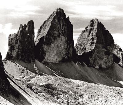
- Sesto e Le Tre Cime
-
Attività
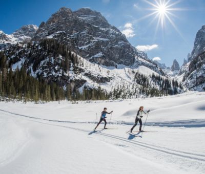
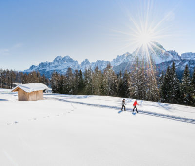
- Sci di fondo con panorami mozzafiato
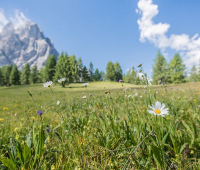
- L'autunno: il tempo della montagna
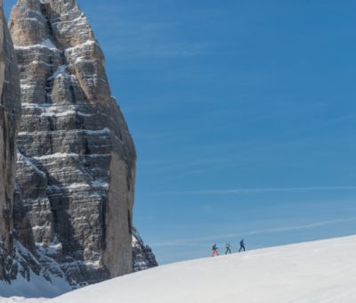
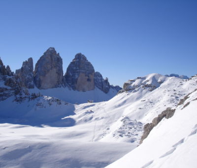
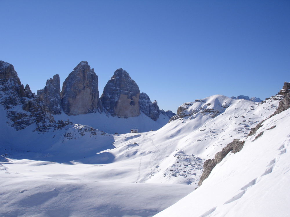
- Ski tour e ciaspolate nelle Dolomiti di Sesto
- Voli in tandem
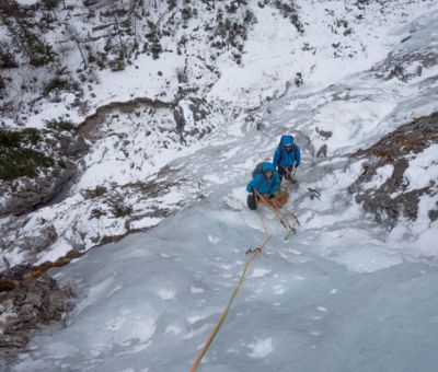
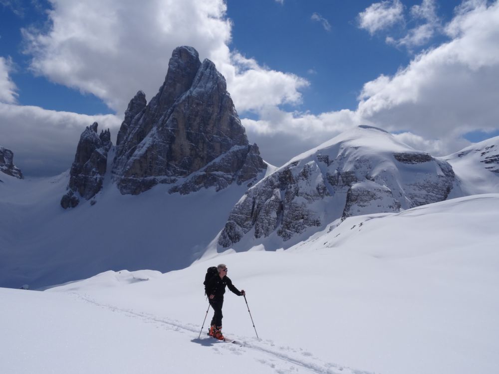
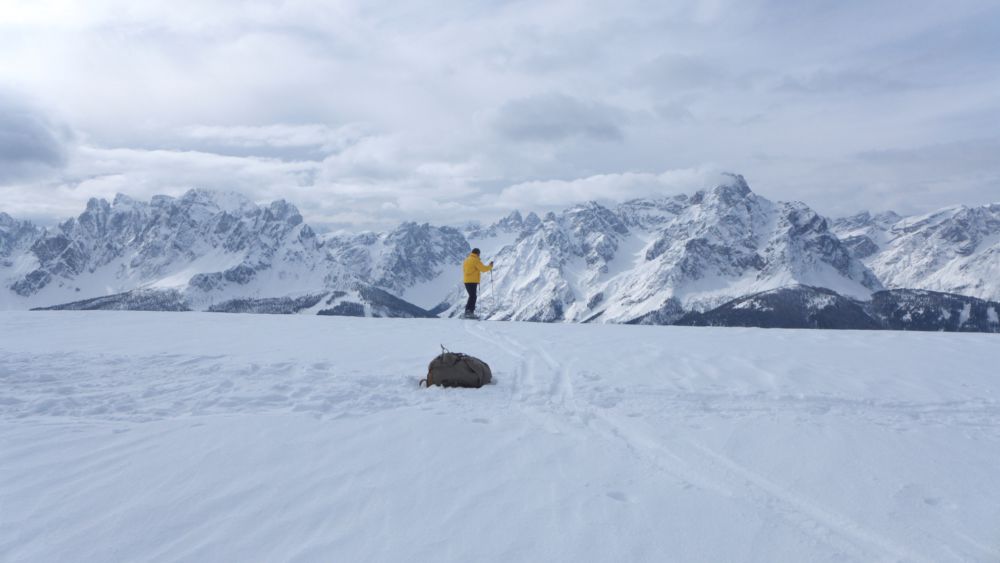
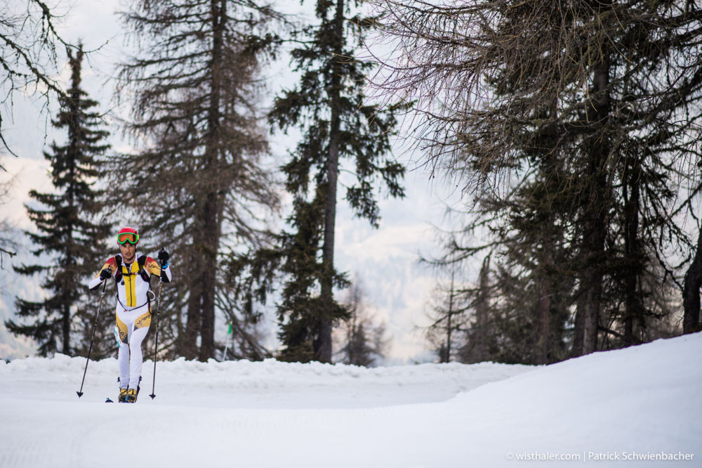
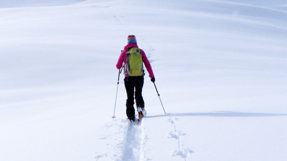
- ABC dello sci alpinismo
- MTB Dolomiti di Sesto
- Escursioni invernali nelle Dolomiti di Sesto
- Sciare a Sesto
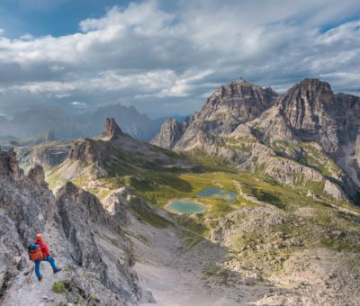
- In alto sulle vie ferrate di Sesto
- Dolomiti senza confini
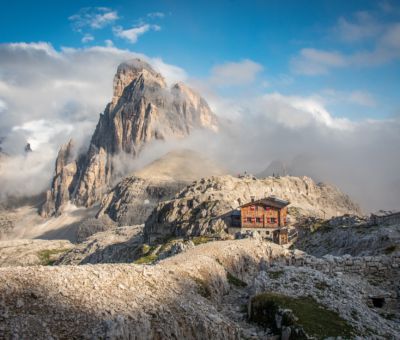
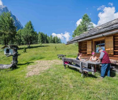
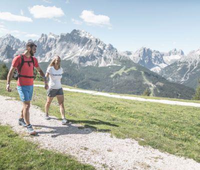
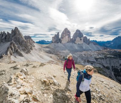
- Escursioni nelle Dolomiti di Sesto
- Hits for Kids
- 150
- Ritratto di Sesto
- Made in Sesto
- Eventi
- Visitor Center
- Alloggi
- # Sesto
- How to get here?
- Magazine
- Best Friends
- Sexten Info