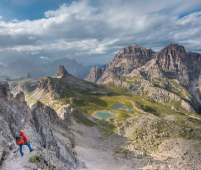
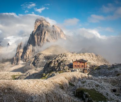
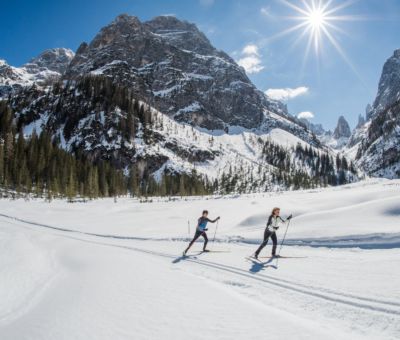
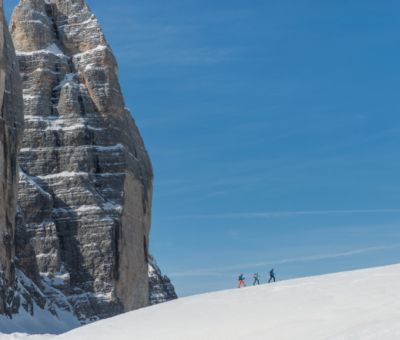
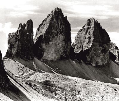
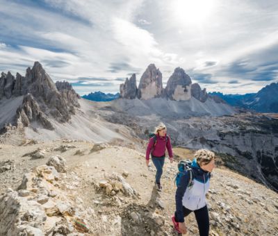
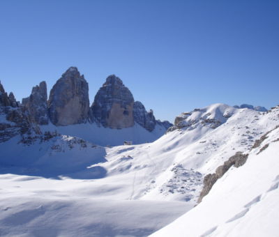
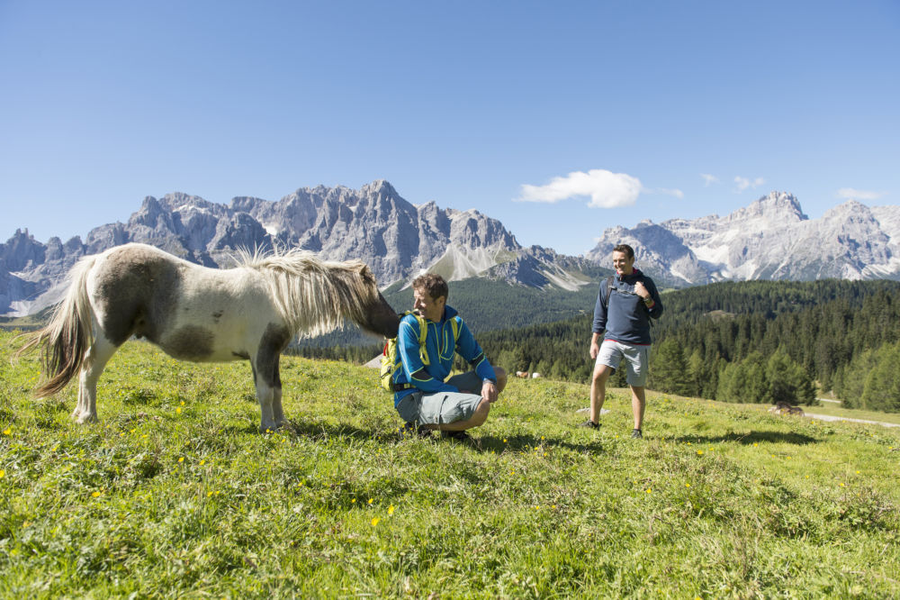
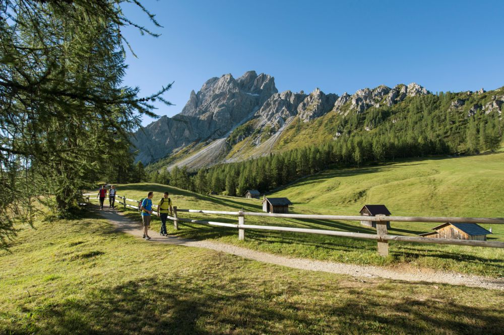
Esiste un paradiso in terra? Se parliamo di paradiso dell'escursionismo, esiste di sicuro: Sesto, nella zona delle 3 Cime, vanta una vasta rete di sentieri ben segnalati, malghe idilliache e numerosi rifugi nello spettacolare scenario delle Dolomiti di Sesto e delle Alpi Carniche.
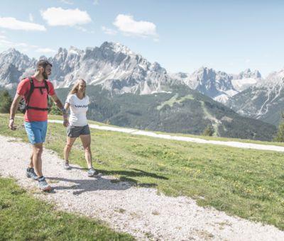
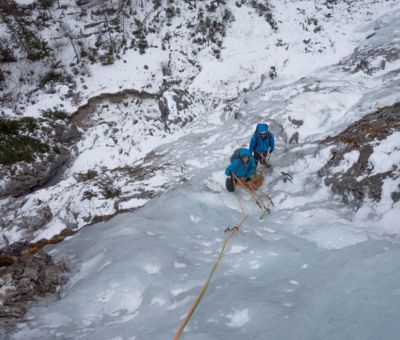
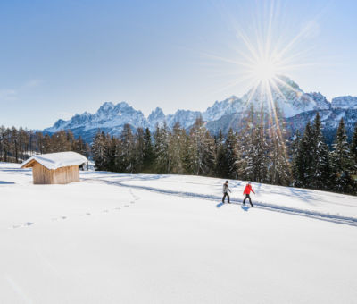
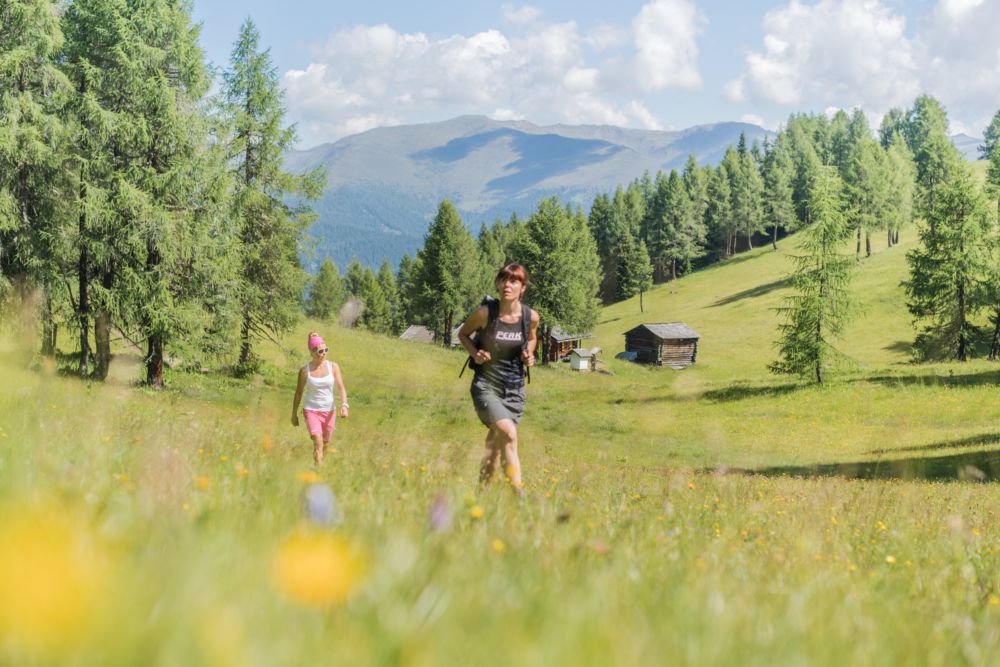
Chi viene a Sesto d'estate può intraprendere escursioni, tour d'alta montagna e arrampicate sulle erte pareti delle Tre Cime. Non sono ottimi motivi per venire a Sesto, non di passaggio ma come meta della vacanza? Un invito a fermarsi e abbandonarsi al fascino della natura? Trascorrete splendide giornate di vacanza, lasciatevi viziare e coccolare da alberghi, B&B e hotel che offrono un servizio su misura per escursionisti e alpinisti. Prenotare una guida alpina o escursionistica è facile e spesso è l'albergatore a suggerirvi le escursioni più belle.
Sentiero dei contrabbandieri
In passato, tra l’Italia e l’Austria ferveva il traffico dei contrabbandieri. Nessuno conosceva le montagne, i passaggi segreti e i punti pericolosi bene quanto loro, i contrabbandieri, che spesso tra l’altro si muovevano nel pieno della notte. Il Sentiero dei contrabbandieri oggi parte dalla stazione a monte della funivia di Mont’Elmo, raggiunge la Helmhaus sulla vetta per poi ritornare alla funivia passando per il Rifugio Gallo Cedrone.
Itinerario ad anello: https://www.tre-cime.info/it/sesto/attivita-sport/estate/escursioni-passeggiate/escursioni.html#filter=r-fullyTranslatedLangus-
| Lunghezza |
7,1 km |
| Tempo di percorrenza |
2:30 ore |
| Dislivello |
430 m |
Sentiero della meditazione per la Cappella nel Bosco e Sentiero delle fiabe e delle leggende
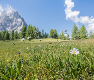
Lungo un ombroso itinerario nel bosco, il sentiero della meditazione conduce dall’abitato di Sesto alla Cappella nel bosco, dove inizia il Sentiero delle fiabe. Sesto e le sue montagne sono oggetto di innumerevoli fiabe e leggende che si tramandano da secoli. Sono loro le protagoniste di un sentiero tematico creativo, lungo il quale figure di legno narrano le loro storie. Il sentiero termina alla rustica Baita del Cacciatore, dove ci si può godere una meritata sosta sulla terrazza gustando piatti deliziosi.
Itinerario: https://www.tre-cime.info/it/sesto/attivita-sport/estate/escursioni-passeggiate/escursioni.html#dmdtab=oax-tab1&filter=r-fullyTranslatedLangus-&ipd=16570697
| Lunghezza |
4,9 km |
| Tempo di percorrenza |
1:50 ore |
| Dislivello |
528 m |
Escursione su Monte Elmo (2.434 m)
La salita su Mont’Elmo partendo dal fondovalle è un’escursione lunga con oltre 1.000 metri di dislivello. Si parte a Moso e si sale passando per la località “Palmstatt” per poi raggiungere il Rifugio Pendio di Mont’Elmo e, seguendo il sentiero n. 3A, Monte Elmo. Dalla vetta si gode di una vista straordinaria sulle Dolomiti di Sesto nonché, verso nord, sulle Alpi della Gailtal, sulle montagne della Villgrattental e sulle Alpi centrali.
Itinerario: https://sesto.guestnet.info/it/active/show/794-bergtour-helm?s=1
| Lunghezza |
5,2 km |
| Tempo di percorrenza |
3 ore |
| Dislivello |
1.090 m |
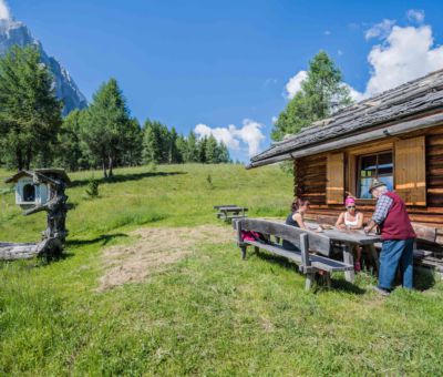
Giro delle malghe di Sesto
Questa piacevole escursione di malga in malga, da Sesto conduce alle malghe Klammbach, Nemes e Coltrondo per poi terminare a Sesto. L’alta via offre scorci incantevoli sulle Dolomiti di Sesto e i rifugi lungo il cammino invitano a concedersi una piacevole sosta.
Con i suoi 25 km, il giro delle malghe è un’escursione piuttosto lunga. Vi è però la possibilità di scendere al Passo Monte Croce per rientrare a Sesto in autobus, oppure di partire dal Passo e terminare a Sesto. Si consiglia di condurre con sé una buona cartina escursionistica, dato che nella zona vi sono numerosi sentieri diversi e bivi.
Itinerario ad anello: https://www.tre-cime.info/it/sesto/attivita-sport/estate/escursioni-passeggiate/escursioni.html#filter=r-fullyTranslatedLangus-&ipd=16570684
| Lunghezza |
25,3 km |
| Tempo di percorrenza |
4 ore |
| Dislivello |
1.062 m |
Escursione sul Monte Covolo (1.908 m)
Un’escursione molto bella e piuttosto breve che conduce nel regno dei galli cedroni. Per non spaventare questi volatili molto sensibili, gli escursionisti sono invitati a evitare rumori inutili e a rimanere sui sentieri. Da Moso si sale fino al Ristorante Froneben. Sul sentiero n. 139 si supera la palude “Obere Oltl” e si prosegue fino a raggiungere il sentiero n. 13 in una gola lungo il Rio Sesto e, infine, il sentiero n. 132 che conduce sul Monte Covolo. Il paesaggio ricco di varietà, con paludi, boschi, prati costellati di piante e animali rari, ha un effetto benefico sulla mente. La discesa si svolge passando per il Lago Nero per poi immettersi sul circuito intorno a Sesto che riconduce al punto di partenza. Si consiglia di condurre con sé una buona cartina escursionistica, dato che nella zona vi sono numerosi sentieri e bivi diversi.
Itinerario ad anello: https://sesto.guestnet.info/it/active/show/2246-bergtour-auf-den-seikofel?s=1
| Lunghezza |
13 km |
| Tempo di percorrenza |
4 ore |
| Dislivello |
560 m |
Giro di Monte Casella (verso ovest)
A chi ama la solitudine e desidera immergersi in un mare di fiori alpini consigliamo il giro di Monte Casella verso ovest. Si può partire sia dal centro di Sesto che dall’ingresso della Val Campo di Dentro. Lungo il sentiero n. 12 si raggiunge prima la vetta di Monte Casella di Fuori a 2.007 metri e poi quella di Monte Casella di Dentro a 2.065 m.
Itinerario ad anello: https://sesto.guestnet.info/it/active/show/2124-bergtour-westliche-gsellrunde?s=1
| Lunghezza |
10 km |
| Tempo di percorrenza |
5 ore |
| Dislivello |
860 m |
Giro di Monte Casella (verso est)
Anche il giro di Monte Casella verso est è un itinerario poco frequentato che da Moso conduce al forte Heideck per proseguire, sul sentiero n. 12, in ripida salita fino ai prati di Monte Casella di Dentro. Sotto la vetta del Monte Casella si attraversa un ghiaione e si arriva al Monte Casella di Fuori (2.007 m). Sempre sul sentiero n. 12 si riscende a Sesto.
Itinerario ad anello: https://sesto.guestnet.info/it/active/show/2123-bergtour-ostliche-gsellrunde?s=1
| Lunghezza |
10 km |
| Tempo di percorrenza |
4:30 ore |
| Dislivello |
770 m |